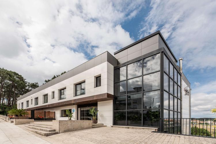
Hotel Inffinit Sanxenxo
Your Perfect Getaway in the Rías Baixas
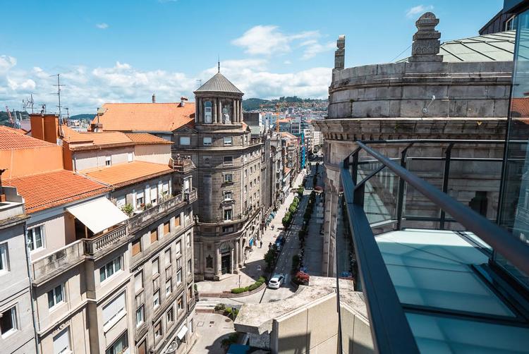
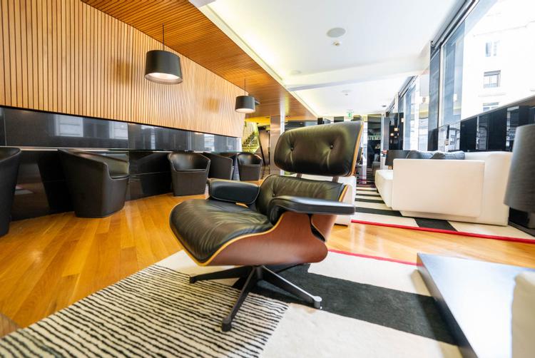
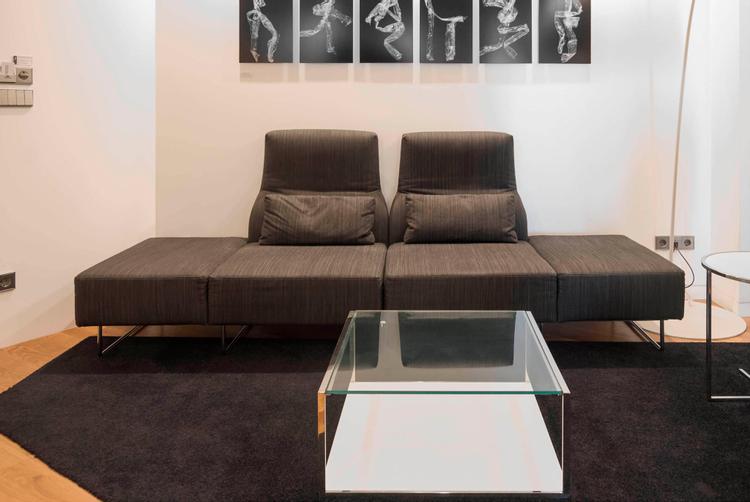
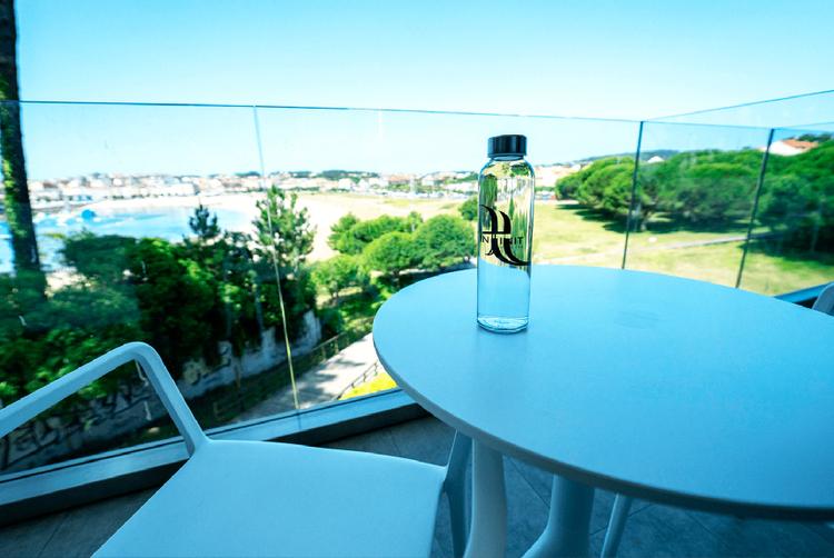
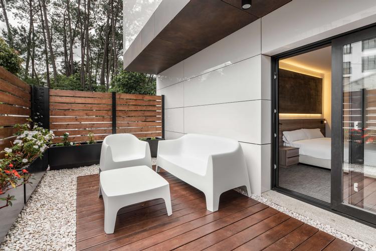
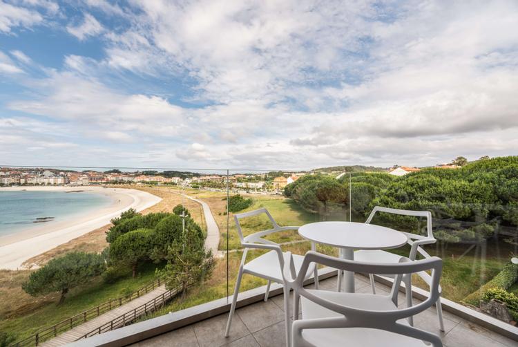
Facing the spectacular beach of Baltar, the Hotel Inffinit Sanxenxo offers an ideal retreat for an unforgettable holiday. With breathtaking views of one of the most beautiful coasts of the Rias Baixas, this hotel has been conceived for rest, relaxation and family enjoyment. Here, every detail has been thought of to make your stay a perfect combination of comfort and pleasure.
With the proximity of destinations such as the Ons Islands, Cambados, O Grove, and the renowned Galician gastronomy, your experience at the Hotel Inffinit Sanxenxo will be incomparable. Just 500 metres from the centre of Portonovoand Sanxenxo, and a short walk from the famous Silgar beach, this is your hotel to enjoy all that the region has to offer. Book today and start your Inffinit Experience.
Book now